5G-CityVisAR| Visualization of urban planning measures with augmented reality
The digital transformation is increasingly becoming the focus of urban development planning. New visualization tools of augmented reality (AR) in conjunction with 5G as a communication technology offer a great opportunity to design planning processes innovatively and close to the citizens. Cities can be realistically depicted in terms of design variants using CAD objects and geodata. This makes participation processes simpler, more efficient, more transparent and more democratic, and construction projects can be accelerated. With low latencies and a high data rate, even when numerous end devices are connected simultaneously, 5G offers the opportunity to display even complex AR representations smoothly in a larger visual radius.
Duration: 01.06.2022 - 31.05.2024
Goal
The goal of the project is to develop a 5G-based AR application and to test it in the context of an urban planning competition with broad citizen participation on the basis of a planning area in Schwerte and to evaluate it with regard to its applicability, user-friendliness and added value for planning procedures.
Approach
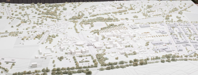
For this purpose, SRP analyzes and evaluates the visualization tools and digital participation formats used in planning procedures and urban development projects to date in order to derive a concept for its own 5G tool based on this - together with the University of Duisburg-Essen and adesso mobile solutions GmbH. For this purpose, SRP simulates an urban planning procedure in Schwerte and develops an urban 3D model, which is then used in the AR tool (transferability of the design to the 5G tool). Furthermore, SRP is actively involved in testing the 5G tool in practice and evaluates the developed tool, together with the project consortium, with regard to its applicability and user-friendliness as well as the legitimacy of planning decisions. For SRP, the focus is on the "limits and possibilities of digital participation in urban development processes" through visualization tools and 5G technologies. Furthermore, SRP continuously supports the city of Schwerte in public relations, especially to make the results of the project and the 5G tool known in city administrations and planning offices as well as in the scientific community.
Project Partners & Funding
Joined Partner
- City of Schwerte
- University of Duisburg-Essen | Chair of Software Engineering
- adesso mobile solutions GmbH
Funding
5G-CityVisAR is funded by state funds from the Ministry of Economic Affairs, Innovation, Digitalization and Energy of North Rhine-Westphalia as part of the 5G.NRW funding competition (funding code 005-2108-0048).
Contact Partners
TU Dortmund University
| TU Dortmund University Department of Spatial Planning Urban and Regional Planning Eva Reinecke, M.Sc. | TU Dortmund University Department of Spatial Planning Urban and Regional Planning Lars Sievers, M.Sc. |


